Past Projects, Research, & Demonstrations
Irrigation Conveyance Evaluation (ICE) Development Program
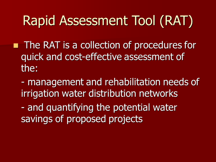
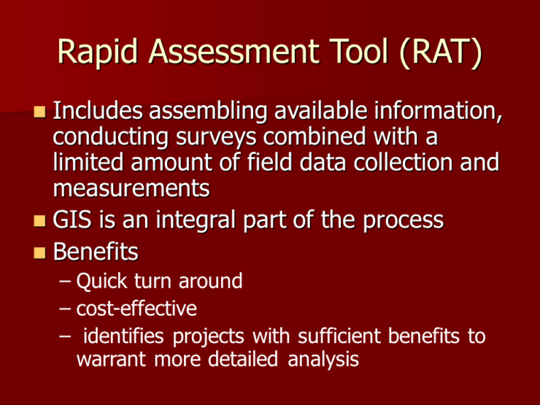
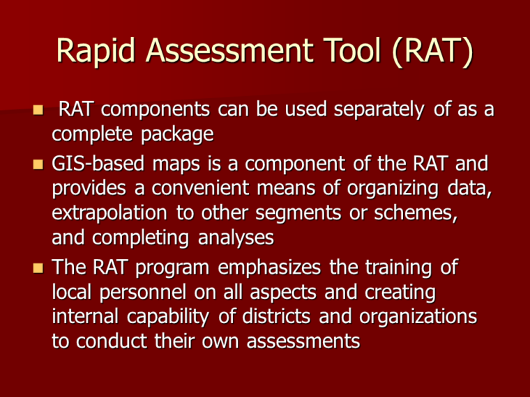
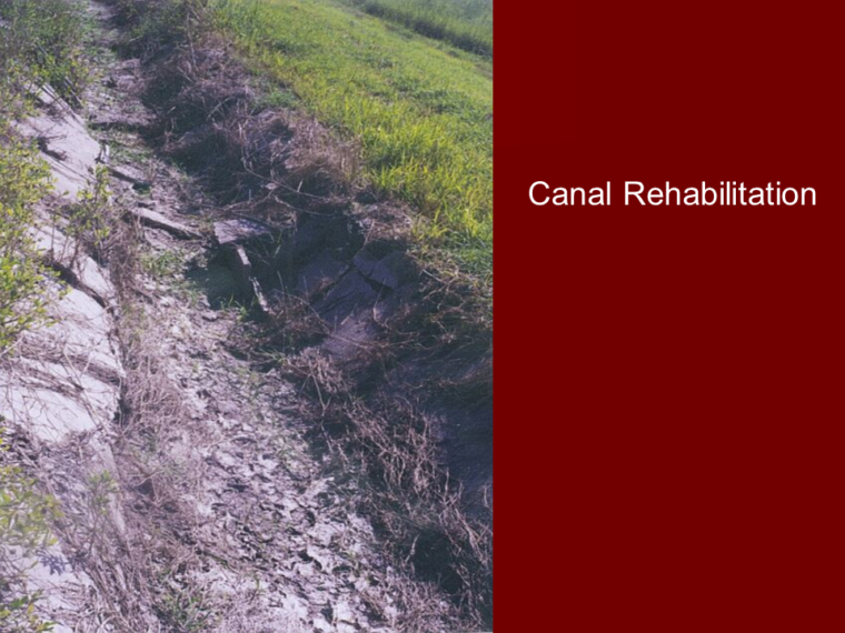
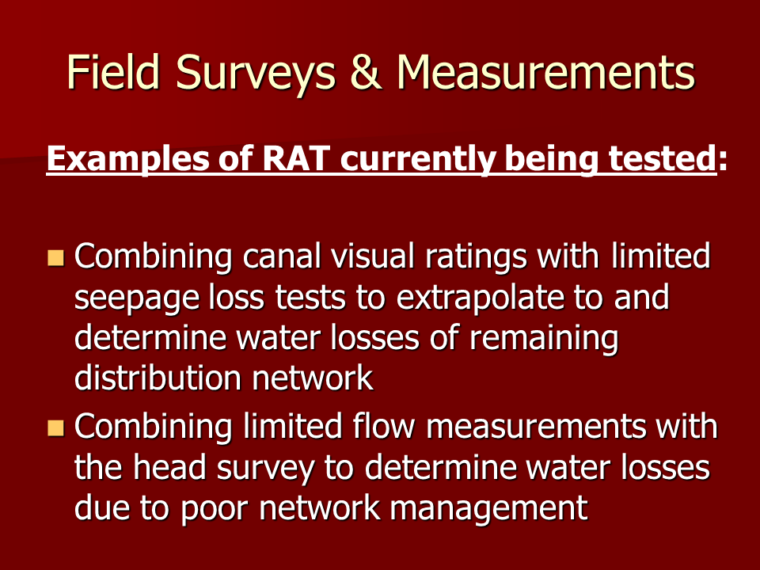
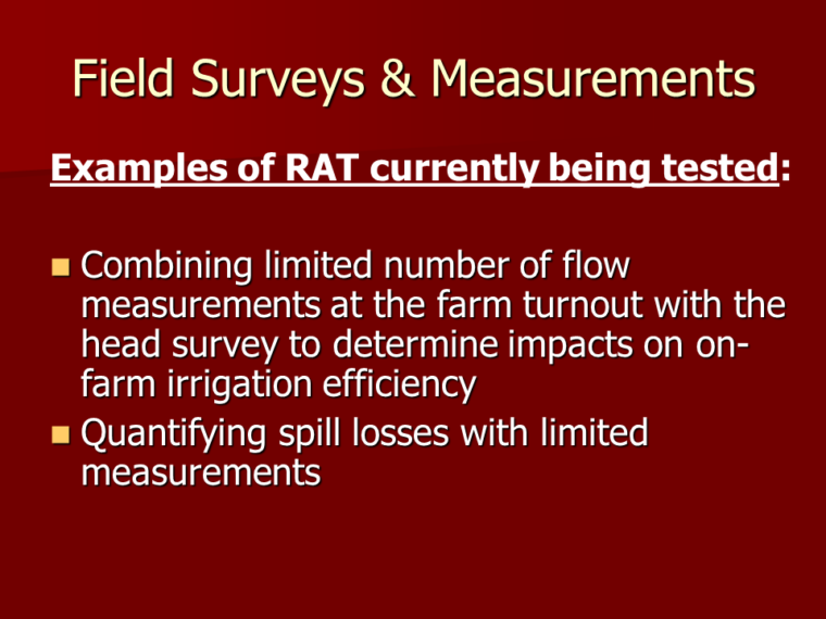
Originally called the Rapid Assessment Tool or RAT, the ICE combines a series of methodologies or components being designed to provide a quick and cost-effective analysis of the conditions and operational performance of an irrigation district and the distribution network. The components include surveys, infrastructure ratings, limited direct measurement, and GIS capabilities among other activities. They can be used separately to identify a single problem or used together to tackle larger complex problems.
Areas of Study and Components:
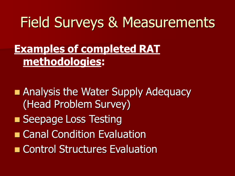
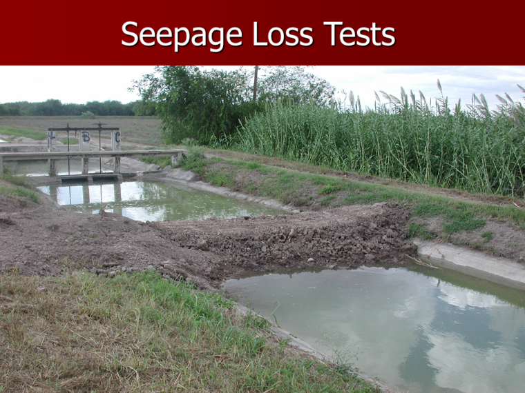
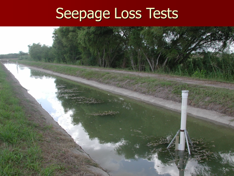
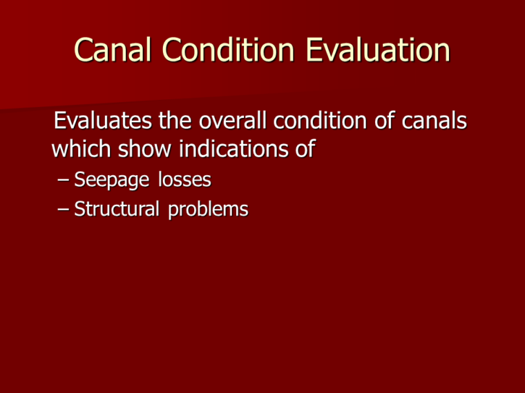
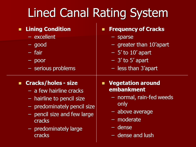
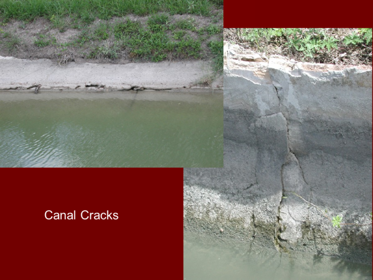
- Canal condition and loss rate evaluation
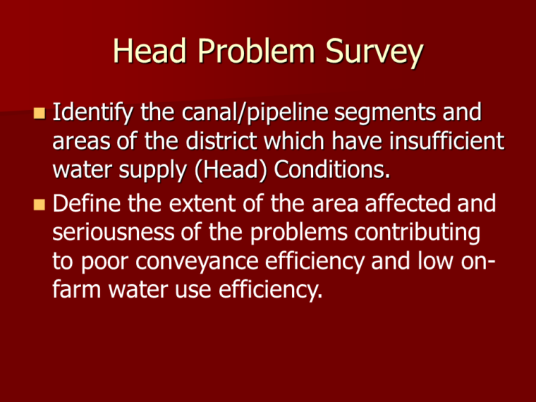
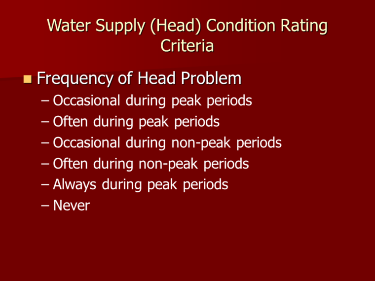
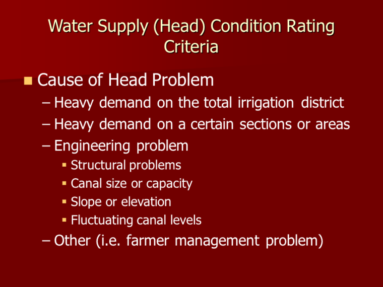
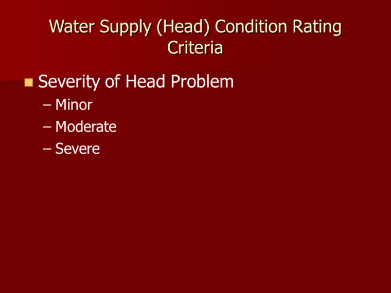
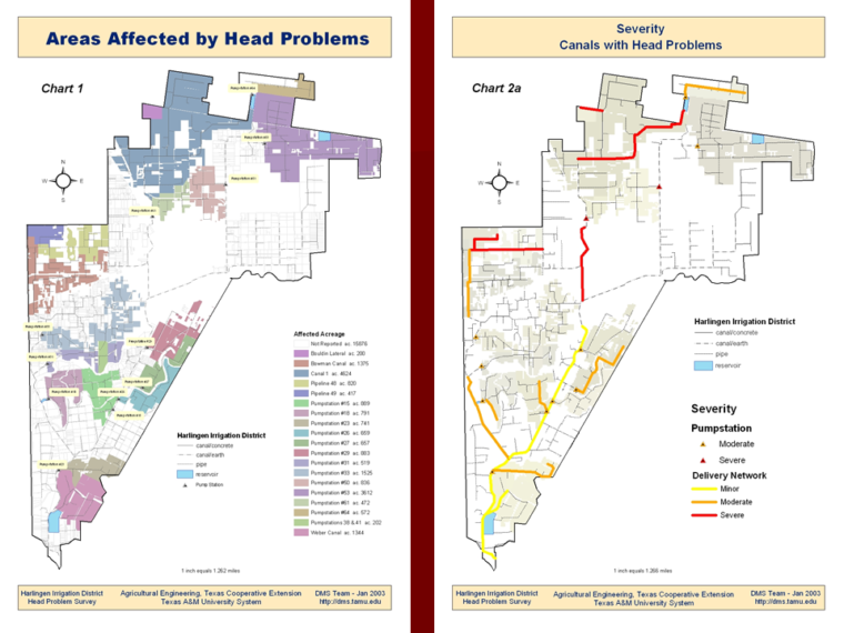
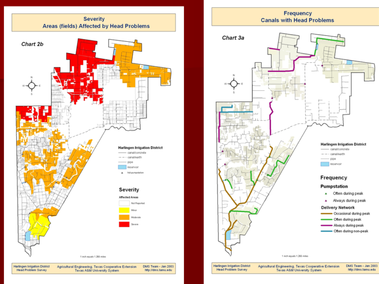
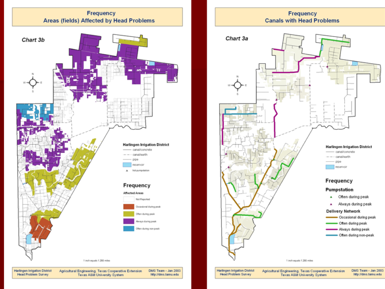
- Analysis of water supply (Head problems) in districts
- Effects of aquatic vegetation on flow in canals
- Spill loss evaluation
- Remote sensing tools
- Optimal canal water management procedures
- On-farm water delivery analysis
Spill Loss Evaluation Slideshow
Remote Sensing (Airborne Multi-Spectral) Evaluation (PDF)
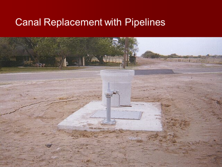
Canal Management Project
Canal Automation Demonstration Program
The objectives of the Canal Management Project were to demonstrate the benefits of automatic control of gates, and to determine the equipment and software that work best in the conditions along the Rio Grande River in Texas. Implementation of canal automation would result in more efficient water management with benefits from improved crop yield, reduced operation and maintenance costs, and water conservation through reduced spillage and seepage.
Each demonstration was equipped with a telemetry system that would transmit current conditions at the gate to the district office, and received instructions on gate settings generated by the automation software. While the basic telemetry and gate control equipment is fairly standard, we focused most of our efforts on evaluating control software and making modifications as needed for maximizing canal operational efficiency.
Areas of Evaluation and Project Components:
– Optimal canal water management procedures
– On-farm water delivery analysis
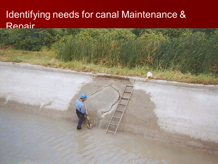
Evaluation of Canal Lining Projects
Periodic documentation and evaluation of canal lining projects’ durability.
Report: Synthetic Canal Lining Evaluation Project (2011)
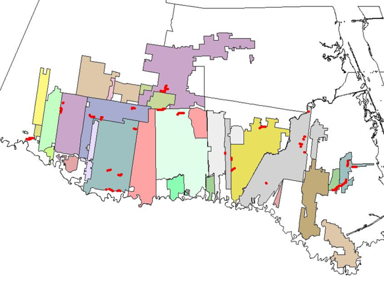
Site Maps: CCID1 | CCID2 | Harlingen ID | HCID#2 | SantaCruz ID | United ID
Posters
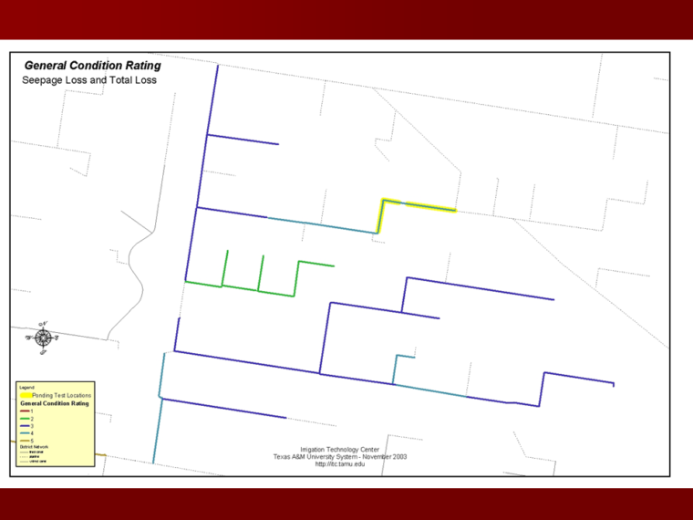
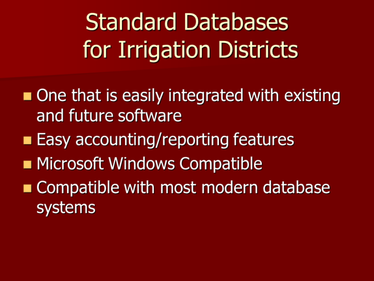
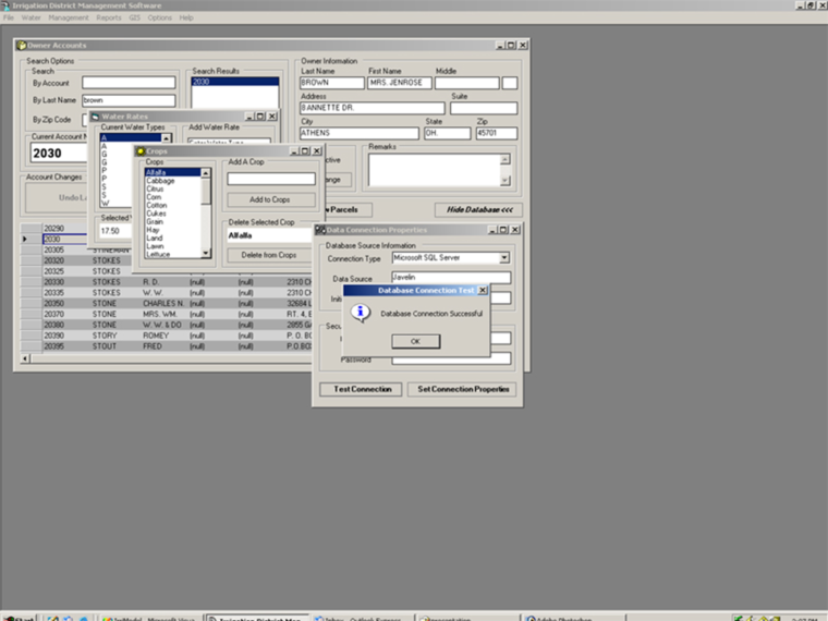
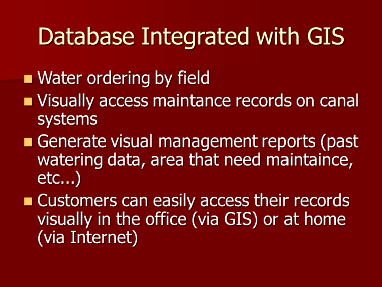
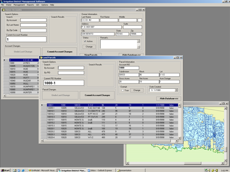
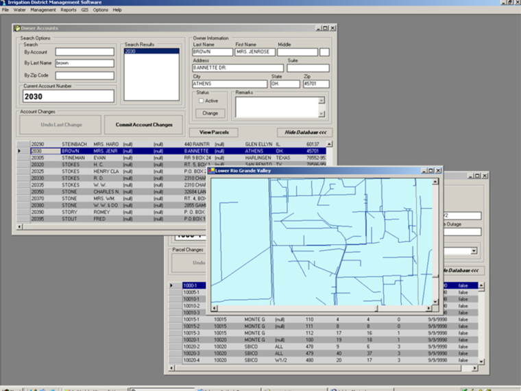
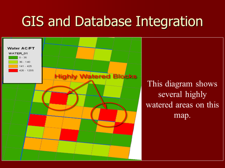
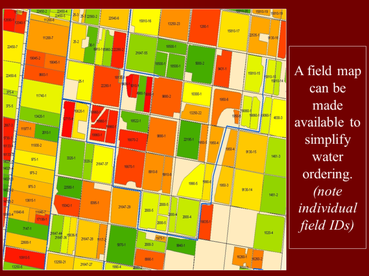
GIS and Database Integration
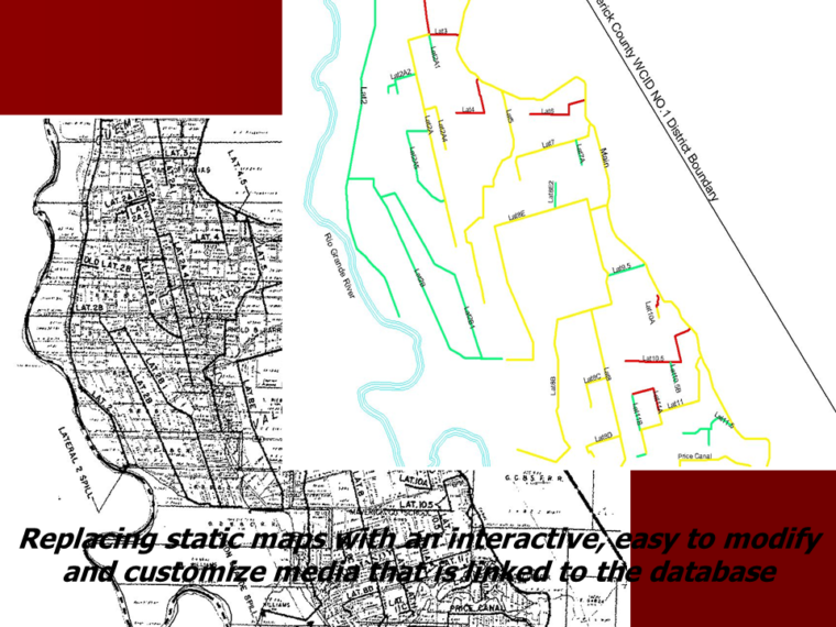
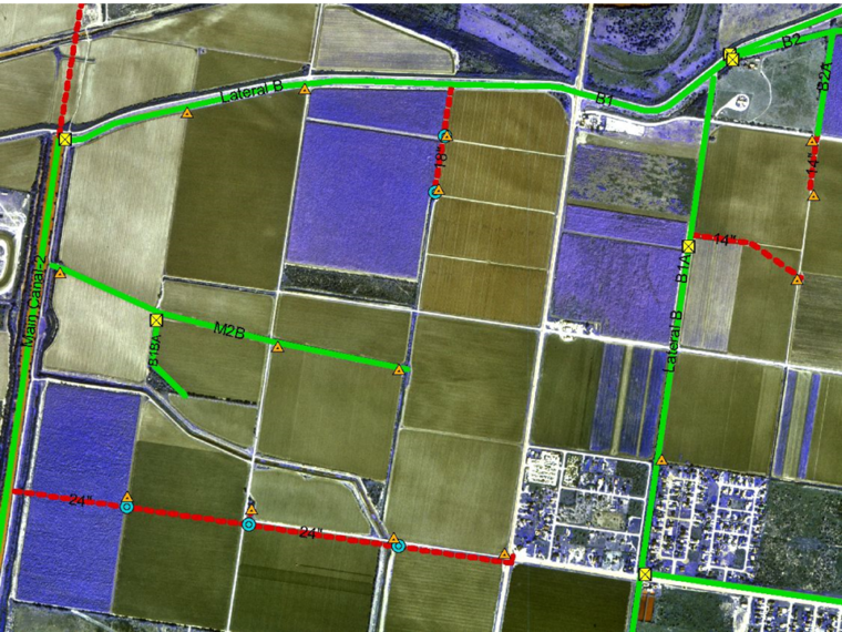
GIS as a Mapping Tool
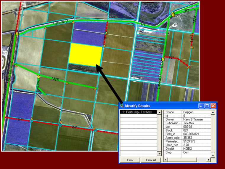
GIS as a Planning Tool
Water Summit
Reports
Canal Conditions Final Report
Database Report
Final Farm Turnout
Head Problem Report
Professional Papers
Proceedings of the GIS Workshop, May 2003, Phoenix, AZ