Current Projects
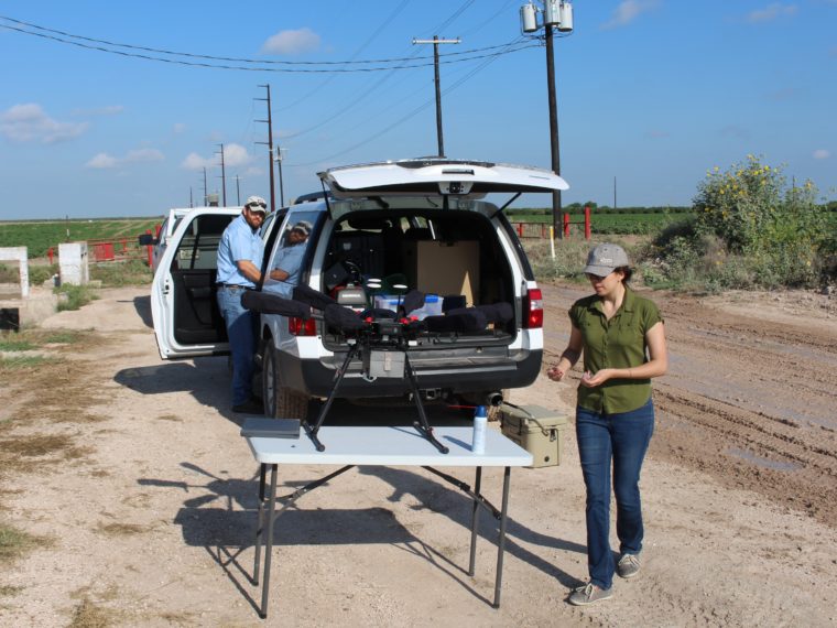
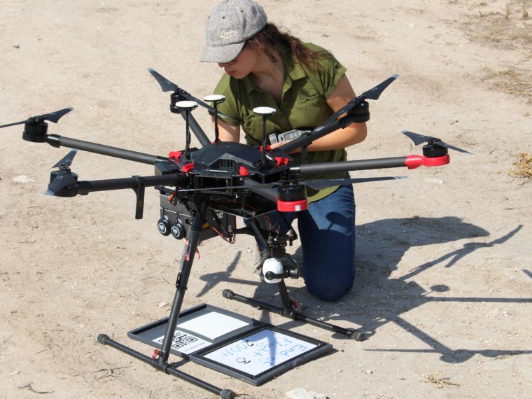
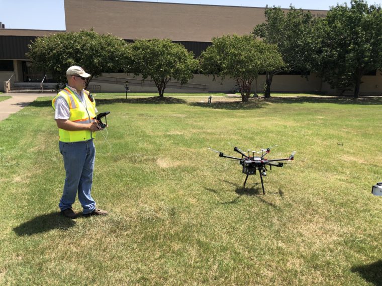
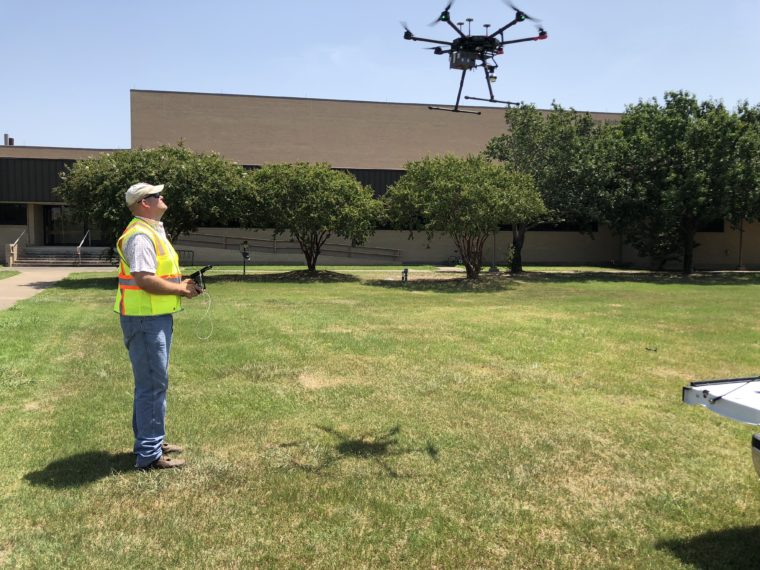
UAV Imaging Platform
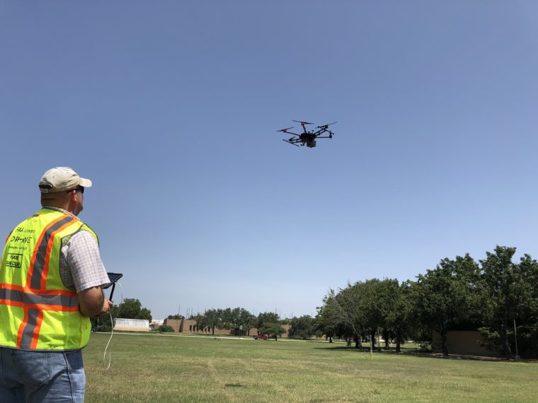
In recent years, drones have become more accessible and imaging systems are now available smaller and lighter than ever, making the prospect of aerial leak detection much more feasible. The UAV Imaging Platform is being used to develop a method for leak detection in irrigation canals and municipal underground pipelines. Much water loss can be attributed to failures in infrastructure which allow water to leak and seep out on the way to its intended destination.
The main advantage of an aerial detection system is the area of land around canals and pipelines that can be surveyed with a single flight. The system currently consists of a DJI M600 hexacopter equipped with thermal, multispectral, and visual cameras. After a flight is completed, images from each camera are assembled and processed experimentally to isolate potential leak locations for each site.